
The Lost Trail
When a five mile hike becomes ten

Hello friend,
My phone chirps at me from inside my jacket pocket. Digging it out, I see the All Trails banner on the front of the screen, “Wrong turn! Looks like you’ve taken a detour from your planned route.”
I press the “clear activity once” button and gaze around. I’m standing on a mossy rock at the top of Ljosanberget, Norway, three miles into what’s supposed to be a five mile hike.
It will turn out to be twice that.
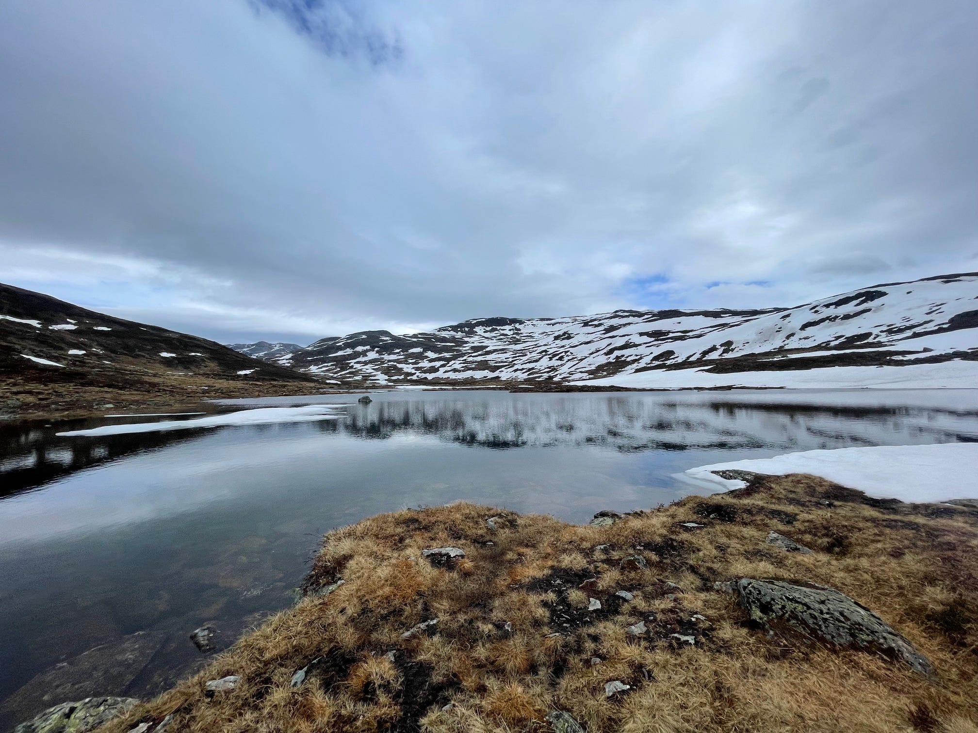
But right now, I’m not worried. I veered off the trail to get closer to a semi-frozen alpine lake I didn’t expect to find. I take dozens of iPhone photos, mentally berating myself for not bringing my “real” camera on today’s day hike. Click, click, click. Zoom in, zoom out. Crouch down, take a vertical shot, stand up, take a horizontal picture.
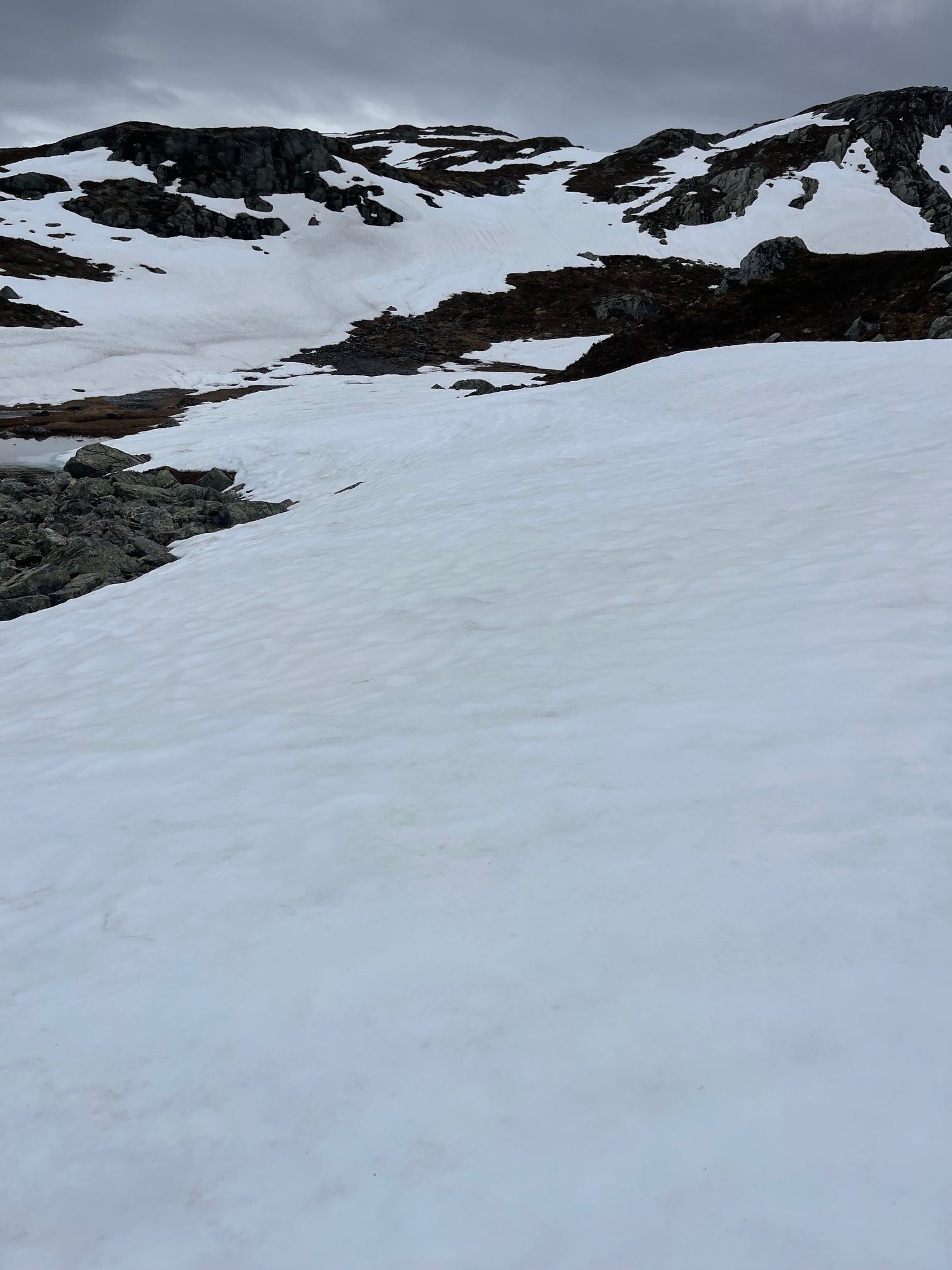
At the top of the valley, I’m suddenly in deep snow. Laughing, I kick my feet into the snow and hike up and up and up higher. Squinting, I can make out the pine trees at the trailhead blending together like dots in a pointillist painting. Faint lines from backcountry skis trace a line up the peak. I trudge up the mountain in my t-shirt, hoping the trail is below this thick sheet of snow. Taking my phone out to confirm the trail location on my offline map, my left hiking boot slices through the snow, landing in a small stream. I stash my phone away to concentrate on my footing.
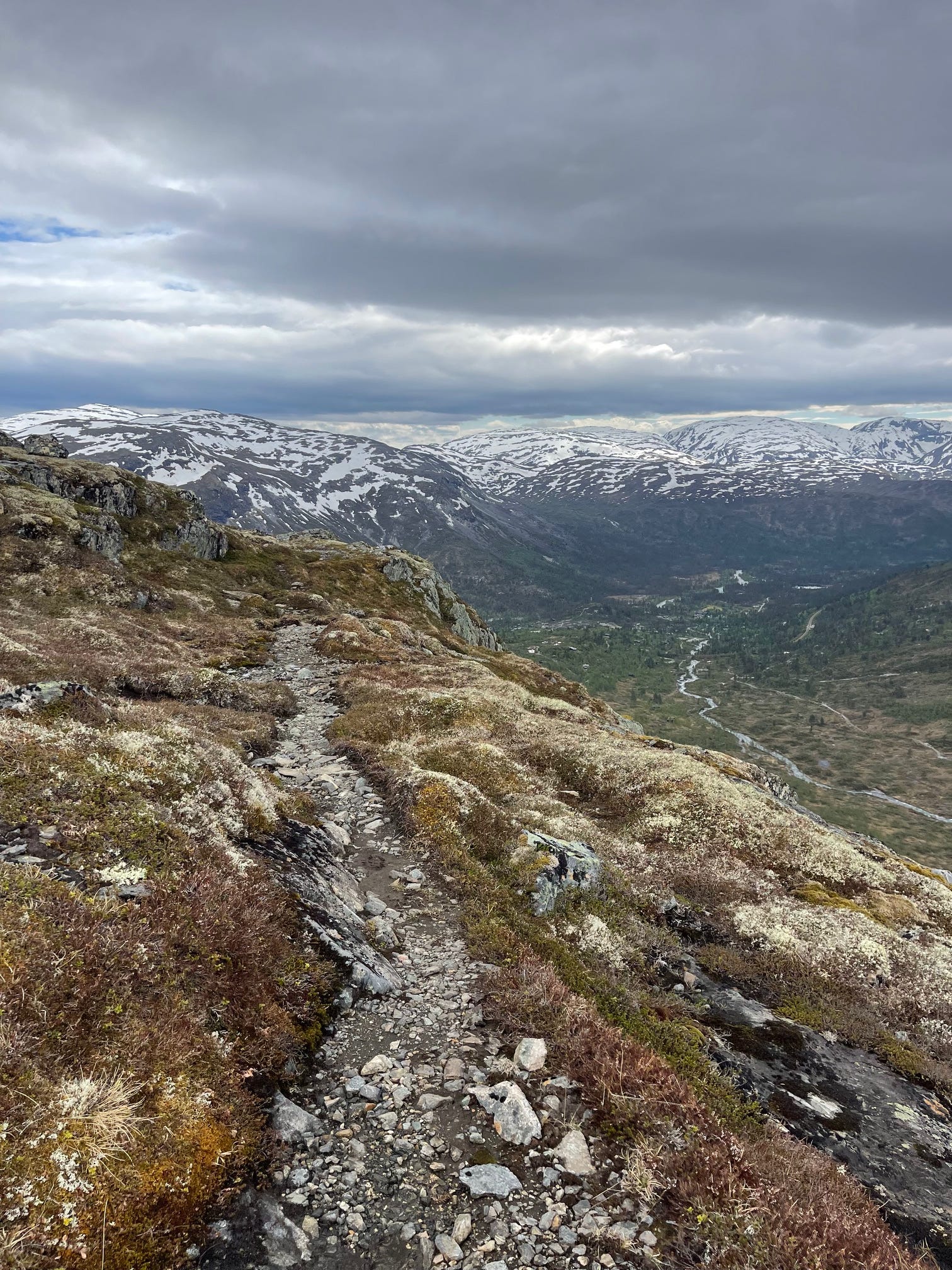
Over the peak, the snow is patchier. White gives way to brown and green grass, a rocky trail re-appearing in the marshy soil. The trail hugs the rocky cliff edge, its path mirroring the route of the river a thousand feet below. Higher mountains dappled with snow sit in the distance. Researching this trail beforehand, the singular All Trails review rated it 3 stars and included neither description nor pictures. I’m in the Norwegian version of Subpar Parks.
I hike confidently, humming as I step over rocks and edge around the sides of mud patches. The trail disappears again at a large river, and I venture up and down the riverbank hunting for the best combination of slow current and narrow river to wade across. Stripping off my shoes, I slosh through a glacial slurry of teal water.
Safely across, I pull on my socks and my phone beeps again. I’m off the route. I glance around for a slight indentation in the ground or a grouping of rocks, any small clue that might indicate the existence of a trail and see…nothing. It’s gotten colder, too. My ancient iPhone 12 has no service and its battery has dwindled to 35%. I note the direction of the trail and switch my phone into airplane mode.
It’s time to get off this mountain. I slide on my jacket, adjust my ponytail, tighten my backpack straps and head in the general direction of the trail. The words of an REI hiking class instructor flash through my mind unbidden. Day hikes are more dangerous than longer ones. People prepare less for day hikes. Less gear, less water, less planning. No first aid kit in their backpack. No backup phone charger, like I don’t have mine today.
I saw the sun peek out after days of rain and raced out on this adventure with minimal planning.
After thirty minutes walking through snow patches in the right direction, I find the trail. I pump my fist in the air and howl out loud in triumph. I trot along, relieved, the sun setting the valley alight. Then the wide trail marked by rock piles begins to get tighter. The rocks disappear and I follow slightly trampled grass. As the trail gets harder to discern, I walk through waist-high brush and push trees branches out of my face to squeeze past.
I start to wonder if this the right path after all. On cue, my phone alerts. Zooming in on the map, I’m halfway across a small, dotted line that cuts along the side of the mountain. This isn’t the right trail. Pausing, I consider turning back to hunt for the correct route. But my phone is now down to 10% battery and the right trail is somewhere underneath the ice and snow.
And peering down, I see a few farmhouses skirting the river. If I can make it down to the farmhouses and cross the river somehow, I’ll be back on the trail I took up the mountain. From there, I can backtrack to the main road and head home. So down I go, scrambling down a dry river bed, lifting myself over mossy boulders as I go.
I’m off the trail and it’s slow going. But it’s warmer and the snow is long gone. I search for gaps in the undergrowth and ground dry enough to hold my weight.
Halfway down, the trees open up. I pick up speed and start running in the open space, skipping from stone to stone. A red house with a metal bridge comes into view, beckoning me forward. When I hit the bridge and cross the river, I’m panting from exertion and sweating through my shirt.
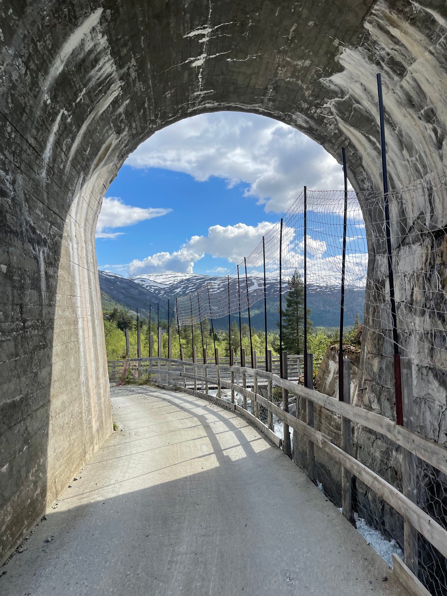
A tunnel leads me to the familiar safety of the main road. Before stepping onto the blacktop, I look back at Ljosanberget and take one final photo with my dying phone.
Welcome to An Adventurous Life, I’m Julia Atkinson.
I left San Diego behind last month to chase my dream of becoming a travel writer. I write about life on the road and share stories, tips and tricks, and interviews for readers looking for more adventure in their lives.
I wrote about road tripping 4,000 miles solo across the United States for Business Insider and about National Park Cities for Trails Magazine.
Until my next adventure,
Julia
A great account of an epic day. Thanks for sharing!
Definitely agree with the adage that day hikes are more dangerous due to more casual preparation!
Reflecting on my more harrowing experiences— on Mount Washington and Mount Carrigain in New Hampshire and Mount Rainer in Washington State things could have turned out very badly. Fortunately they did not.
Funny how a lot of our modern day adventures include “battery charge left on iPhone” as a conflict plot point. 😁